
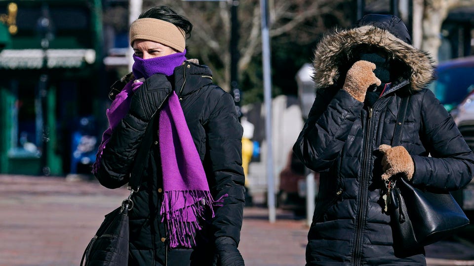

The life-threatening cold snap began to subside across the northeastern United States on Saturday after a new national record for wind chill was broken in New Hampshire.
The record was set in Mount Washington this Friday night, when the wind chill was -108 degrees Fahrenheit (-42 °C) thanks to a temperature of -46 degrees Fahrenheit (-8 °C) and wind gusts of 127 mph. (200km/h).
Historically, wind chill records aren’t tracked as closely as temperature records, but the mark would surpass what most meteorologists believe is the US record: minus 105 degrees Fahrenheit in Alaska (about -76° C). The previous record for Mount Washington was minus 102.7 degrees Fahrenheit (-74 °C) in 2004.
More than 15 million people were under wind chill alerts Saturday as the extreme cold began to subside. The vast majority of the remaining wind chill alerts ended around noon.
By Saturday afternoon, fewer than a million people remained under wind chill advisories. Most of the remaining wind chill watches will end at 7:00 PM ET tonight as temperatures begin to stabilize and winds ease. Temperatures will pick up considerably, reaching 5 to 10 degrees above normal this Sunday.
Several daily records for low temperatures were set in parts of the Northeast this morning, according to local offices of the National Weather Service.
Boston hit a morning low of minus 10 degrees Fahrenheit (-23 °C) on Saturday morning, breaking its previous daily record of minus 2 degrees Fahrenheit (-18 °C). The weather service also tweeted that it is the first double-digit negative temperature on record since 1957.